


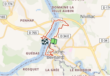

7.6 km | 10.4 km-effort

User


FREE GPS app for hiking
 SityTrail
IGN / Geographical institutes
SityTrail World
The world is yours!
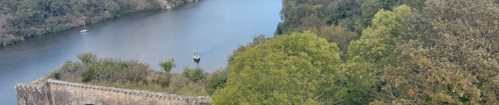
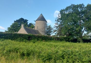
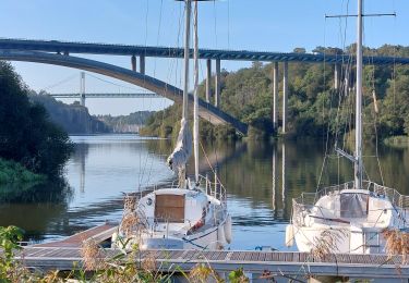
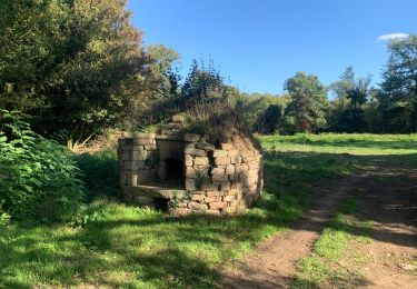
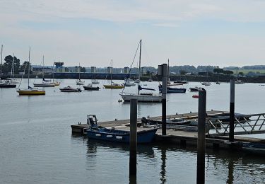
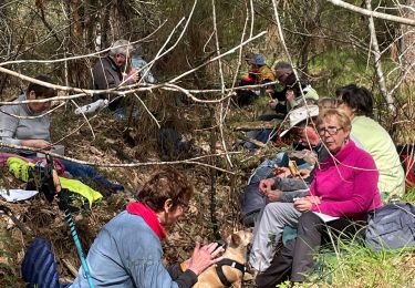
Trail Walking of 6.6 km to be discovered at Brittany, Morbihan, La Roche-Bernard. This trail is proposed by patrickdanilo.
Randonnée Marche de 6,6 km à découvrir à Bretagne, Morbihan, La Roche-Bernard. Cette randonnée est proposée par patrickdanilo.


Walking
Walking
Walking
Walking
Horseback riding

Electric bike
Walking

Walking